 | Advantus
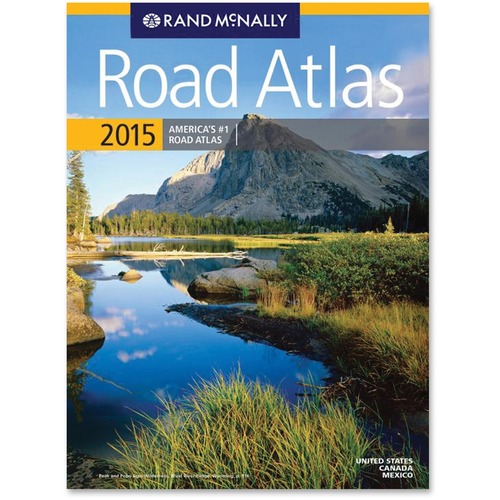
Rand McNally 2015 Road Atlas Travel Printed Manual - $11.39 This paperback road atlas offers colorful, easy-to-read
road maps of the U.S., Canada, Mexico and Puerto Rico. Each state/provincial map has handy insets of metropolitan areas, regional
mileage charts and local tourism contacts. Road atlas also features a national parks finder and on-page locator maps, plus
mileage tables for major cities. Also find interstate maps, elevation shading, scenic routes and more. Interstate exit numbers
pop out in green, point-of-interest labels pack a punch in red, and bingo keys are large and easy to spot in blue and white.
Plus, get a QR code to scan with applicable phones to receive additional travel information, videos and more. |

